Gas station nearby KLJ
Belize
Gas station nearby KLJ
KLJ
Crooked Tree, Belize
contacts phone
:
+501 662-0798
Latitude:
17.790951
, Longitude:
-88.5480566
larger map & directions
read more
nearest Gas station
17.447 km
Fuel Station
MHPF+3FM, Phillip Goldson Highway, Belize City
Establishment
Gas station
Point of interest
read more
21.306 km
Dickson Kingsley
JF3R+578, Flowers Bank
Establishment
Gas station
Point of interest
read more
29.317 km
CDS Gas
HJJ9+7H8, Burrell Boom
Establishment
Gas station
Point of interest
read more
31.848 km
Zeta Gas
HMJ4+472, Philip Goldson Highway, Ladyville
Establishment
Gas station
Point of interest
read more
34.986 km
Vasquez Energy butane service
14 old well road Belize, Ladyville
Establishment
Gas station
Point of interest
read more
36.464 km
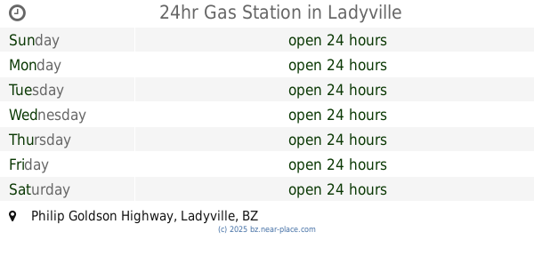
24hr Gas Station
HM3R+XCR, Philip Goldson Highway, Ladyville
Establishment
Gas station
Point of interest
read more
40.89 km
George price HWY
FJ33+5J9, Hattieville
Establishment
Gas station
Point of interest
read more
47.326 km
Puma Round About Station
2, 1/2 Miles George Price Highway, Belize City
Establishment
Gas station
Point of interest
read more
48.233 km
Gas Tomza Belize
FQXQ+WQ2, Northern Highway, Belize City
Establishment
Gas station
Point of interest
read more
48.813 km
Pirates marina gas station
766 Tranquil Lane, Belize City
Establishment
Gas station
Point of interest
read more
49.208 km
Puma Gas Station
GR34+Q92, Freetown Road, Belize City
Establishment
Gas station
Point of interest
read more
49.47 km
Uno Gas Station
FRW2+8G3, Central American Boulevard, Belize City
Establishment
Gas station
Point of interest
read more
49.771 km
Uno Gas Station
2 Ebony Street, Belize City
Establishment
Gas station
Point of interest
read more
49.849 km
Checkpoints Service Station Coastal (Shell)
Corner George Price Highway w, Coastal Highway, La Democracia
Establishment
Gas station
Point of interest
read more
49.945 km
Puma Gas Station
FRW4+5Q4, Woods Street, Belize City
Establishment
Gas station
Point of interest
read more
📑
all categories
Accounting
Airport
Art gallery
Atm
Bakery
Bank
Bar
Beauty salon
Bicycle store
Book store
Bus station
Cafe
Campground
Car dealer
Car rental
Car repair
Car wash
Casino
Cemetery
Church
City hall
Clothing store
Convenience store
Courthouse
Dentist
Department store
Doctor
Electrician
Electronics store
Embassy
Establishment
Finance
Fire station
Florist
Food
Funeral home
Furniture store
Gas station
General contractor
Grocery or supermarket
Gym
Hair care
Hardware store
Health
Hindu Temple
Home goods store
Hospital
Insurance agency
Intersection
Jewelry store
Laundry
Lawyer
Library
Liquor store
Local government office
Locality
Locksmith
Lodging
Meal delivery
Meal takeaway
Mosque
Movie theater
Moving company
Museum
Neighborhood
Night club
Park
Parking
Pet store
Pharmacy
Place of worship
Plumber
Point of interest
Police
Political
Post office
Premise
Real estate agency
Restaurant
Route
Rv park, camping
School
Shoe store
Shopping mall
Spa
Stadium
Storage
Store
Subpremise
Supermarket
Taxi stand
Transit station
Travel agency
University
Veterinary care
Zoo
↑